The Woods Institute is now part of the Stanford Doerr School of Sustainability
Tracking the tinderbox: Mapping Dry Wildfire Fuels with AI and New Satellite Data
istock
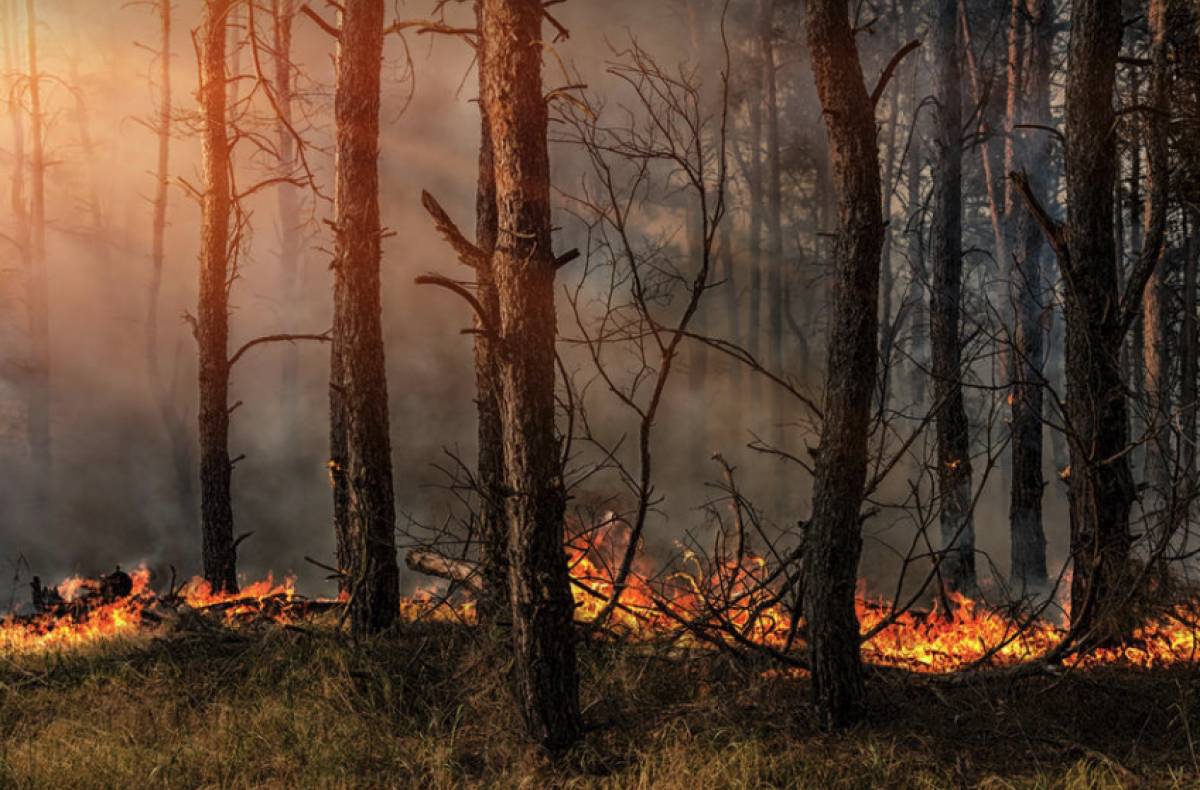
Stanford researchers have developed a deep-learning model that maps fuel moisture levels in fine detail across 12 western states, opening a door for better fire predictions.
Contact Information
Christine H. Black
Associate Director, Communications
650.725.8240
ChristineBlack@stanford.edu
Devon Ryan
Communications Manager
650.497.0444
devonr@stanford.edu
Rob Jordan
Editor / Senior Writer
650.721.1881
rjordan@stanford.edu
